
Regional Position, Climate and Natural Resources
Regional Position
Armenia is located in the Southwest Caucasus region, at the crossroads of Europe and Asia. It is a landlocked country bordered by Georgia to the north, Azerbaijan to the east, Iran to the south, and Turkey to the west.
Armenia’s land area is 29,800 square kilometers (11,505 square miles), and the population is 3.3 million. The maximum distance from north to south is 360 kilometers, and from east to west 200 kilometers. About fve percent of the country’s territory is covered by lakes, the biggest of which is Lake Sevan. Armenia’s borders with Turkey and Azerbaijan have been closed since the 1990s due to the Nagorno-Karabakh confict. Automobile roadways and railways via Georgia and Iran are the principal land routes to/from the country, and the aviation system features extensive international network coverage (for more details see the Flight Connectivity section of the Guide). The nearest seaport is Poti in Georgia, through which Armenia has access to the countries of the Black Sea region.
The new railroad project connecting Armenia to Iran will provide routes all the way out to the Persian Gulf, providing access to neighboring Central Asia, the Middle East, India and China. Currently the railway network extends northwest to Port Poti in Georgia. Armenia also has a highway with Iran.
Climate
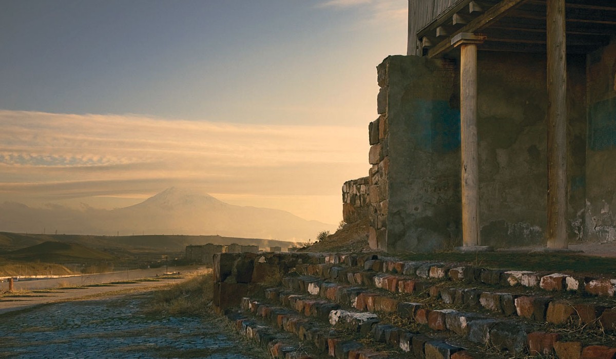
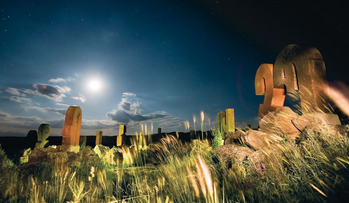
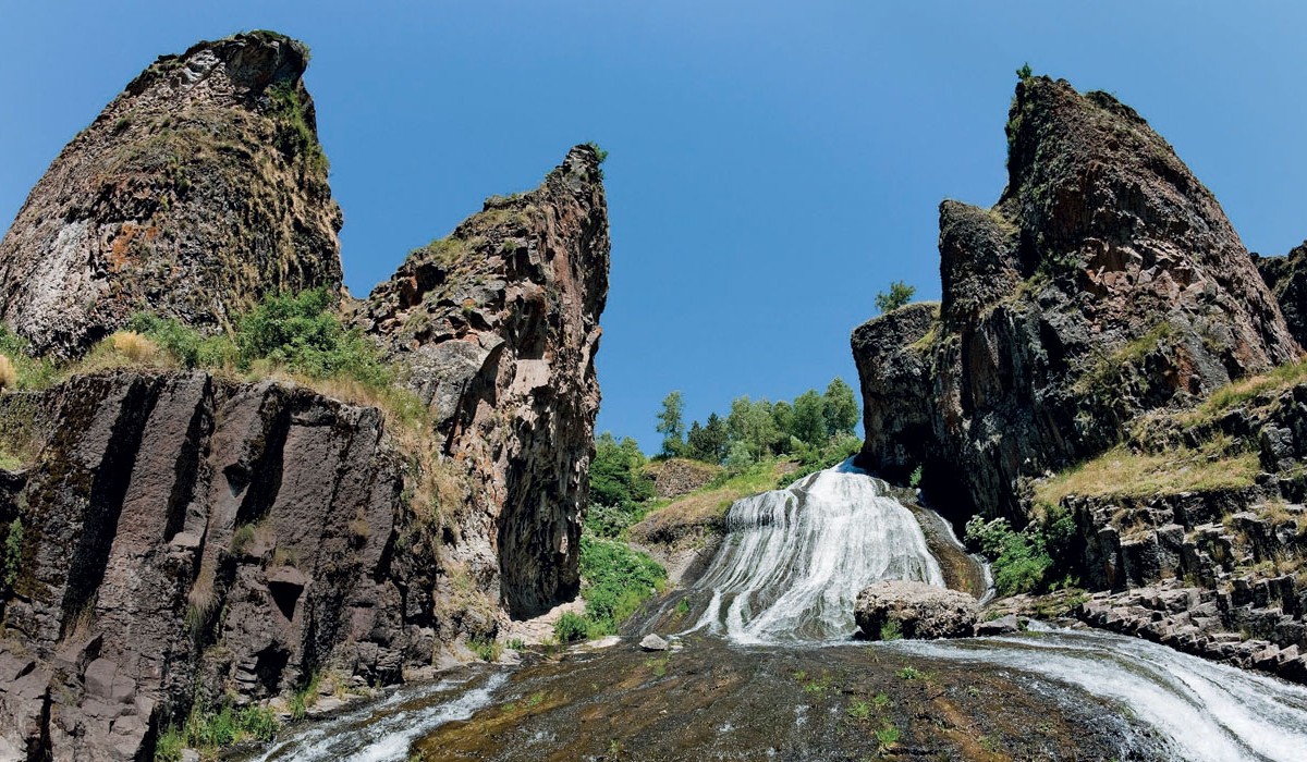
 Armenia has a tremendously diverse climate for a relatively small geographical area, from the sunny Ararat valley with its bountiful fruit gardens, to the snowcapped mountain ranges that serrate the land. Several microclimates exist because of the country's mountainous terrain. A sunny and hot day in the Ararat Valley may at the same time feature quite brisk weather near the windswept mountainous lakes, and snow may fall in the upper regions of Mount Aragats. The rolling hills and high fats seem sculpted especially for rugged cross-country skiing in the winter, while Lake Sevan in the summertime is a wonderful destination for swimming, sunbathing, and relaxation.Average temperatures in the country's capital, Yerevan, range from -5oC in winter to 30oC in summer, although the thermometer may fall to -10oC and rise to over 40oC. Average precipitation ranges from less than 12 inches per year in the lower Arax river valley to about 36 inches per year at the highest altitudes. In Armenia, an average of 280 days a year are sunny.
Natural Resources
 Armenia is a mountainous country, and therefore rich in mineral resources such as iron, copper, molybdenum, lead, zinc, gold, silver, antimony, aluminum, as well as other scarce and hard-to-fnd metals. Iron and copper ore, especially, are exported in signifcant volume.More than 670 solid mineral mines, including 30 metal mines, are currently registered in the state inventory of mineral resources. About 400 of these are exploited, including 22 metal mines: Seven copper-molybdenum mines, four copper mines (operated in the southern part of the country in Kadjaran, Dastakert and Agarak), 14 gold mines (operated in Sodq and Meghradzor) and gold-poly-metallic mines, two poly-metallic mines, two iron ore mines, and one aluminum mine. Armenia's territory is divided into three zones with metal deposits: Alaverdi-Kapan, Pambak-Zangezur and Sevan-Amasia.Armenia also possesses some of the world’s most diverse non-metallic minerals, including almost all types of mineral rocks. Other resources such as tuff, perlite, pumice-stone, zeolite, scoria, basalts, granites, nephelite syenite, and marble are widely used in construction. Non-metallic mines for minerals such as quartzite, carbonate, zeolite, scoria and pumice-stone, clay, bentonite, diatomite, and gypsum, also comprise a signifcant part of Armenia’s mining sector.Armenia is rich in mineral water as well. The cities of Jermuk, Dilijan, Bjni, Arzni, Hankavan, and Sevan are well known in the world for both the medicinal and organoleptic qualities of their waters.
Regions (Marzes)
Regions (Marzes)
 Armenia has 11 administrative territorial units or “marzes”: Aragatsotn, Ararat, Armavir, Gegharquniq, Lory, Kotayq, Shirak, Syunik, Vayots Dzor, Tavush, and Yerevan.
ARAGATSOTN
Covering 2,753 sq. km, 9% of Armenia’s territory, there are three urban and 111 rural communities in the region. The major towns are Ashtarak (Marz center), Talin, and Aparan. The leading economic sectors are industry and agriculture. The geography and climate are favorable for both crops including grain, potatoes, and perennial grass, and for cattle breeding.
ARARAT
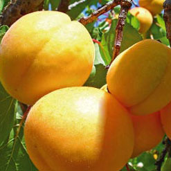
Covering 2,096 sq. km, 7% of Armenia’s territory, there are four urban and 93 rural communities in the region. The major towns are Artashat (Marz center), Ararat, Vedi, and Masis. The economy is specialized in fruit and vegetable growing and wine production.
ARMAVIR
Covering 1,242 sq. km, 4% of Armenia’s territory, there are three urban and 93 rural communities in the region. The major towns are Armavir (Marz center), Metsamor, and Vagharshapat. The leading economic sectors are agriculture and industry. The geography and climate are favorable for crops such as basic grains and vegetables, and cattle breeding. Industrial production is specialized in food products, soft drinks, beverages and building materials. The Armenian Nuclear Power Plant is also located in the marz, producing about 40% of the country’s electricity.
GEGHARKUNIK
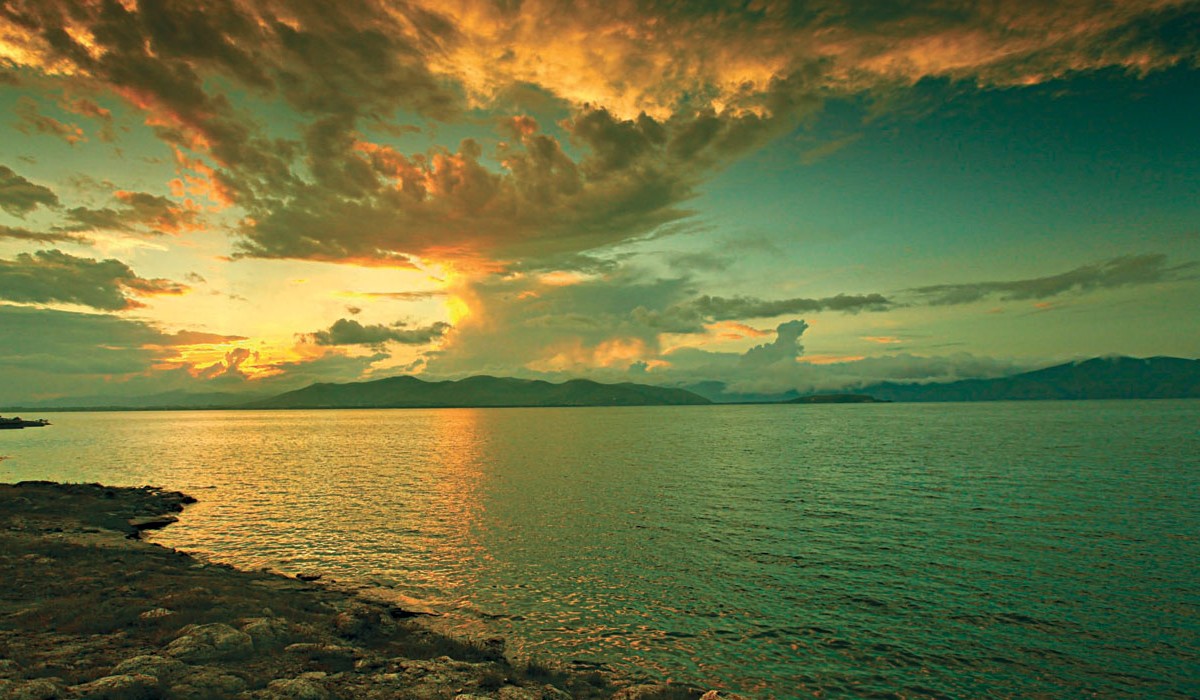
Covering 5,348 sq. km, 18% of Armenia’s territory,  there are five urban and 87 rural communities in the region. Lake Sevan, the largest body of fresh water in the Southern Caucasus, is located in Gegharkunik Marz. The major towns are Gavar (Marz center), Sevan, Martuni, and Vardenis. The principal economic sectors are agriculture, particularly grain, potatoes and vegetables; mining of gold, dolomite, basalt, sand, volcanic tuff, and fishing. Gegharkunk it is the main supplier of fresh fish to the country’s population.
LORI
Covering 3,789 sq. km, 13% of Armenia’s territory, there are eight urban and 105 rural communities in the region. The major towns are Vanadzor (Marz center), Spitak, Tashir, and Alaverdi. The leading economic sectors are agriculture and metallurgy. The agriculture industry is founded on grain, potatoes and vegetables, and animal husbandry products.
 KOTAYK
Covering 2,089 sq. km, 7% of Armenia’s territory, there are seven urban and 60 rural communities in the region. The major towns are Hrazdan (Marz center), Abovyan, and Charencavan. The region is rich with mineral waters, found in Bjni and Arzni. Industry is specialized in food and beverage production, non-metal mineral production (glass and cement), metallurgy and metal products (steel and iron casting), and furniture. The region also has three large poultry farms, and two large electricity plants, giving it an strong role in Armenia’s energy sector.
SHIRAK
Covering 2,681 sq. km, 9% of Armenia’s territory, there are three urban and 116 rural communities in the region. The major towns are Gyumri (Marz center), Artik, and Maralik. The territory contains the main railway and automobile highway connecting Armenia with Georgia, and the railway and road networks of  Armenia and Turkey are connected here. The leading economic activities are food and beverage production, and non-metal mineral products such as tufa and pumice of artik.
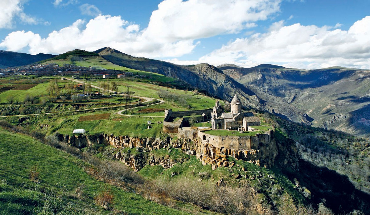
SYUNIK
Covering 4,506 sq. km, 15% of Armenia’s territory, there are seven urban and 102 rural communities in the region. The major towns are Kapan (Marz center), Goris, Sisian, and Meghri. Leading economic sectors are the mining industry and electricity production. Agriculture is specialized in crops and animal husbandry.
TAVUSH
Covering 2,704 sq. km, 9% of Armenia’s territory, there are fve urban and 57 rural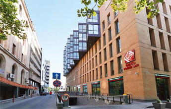 communities in the region. The major towns are Ijevan (Marz center), Tavush, Noyemberyan, and Ayrum. The leading economic sectors are manufacturing and agriculture. Food, wine, mineral waters, stone and wood products are exported to external markets.
VAYOTS DZOR
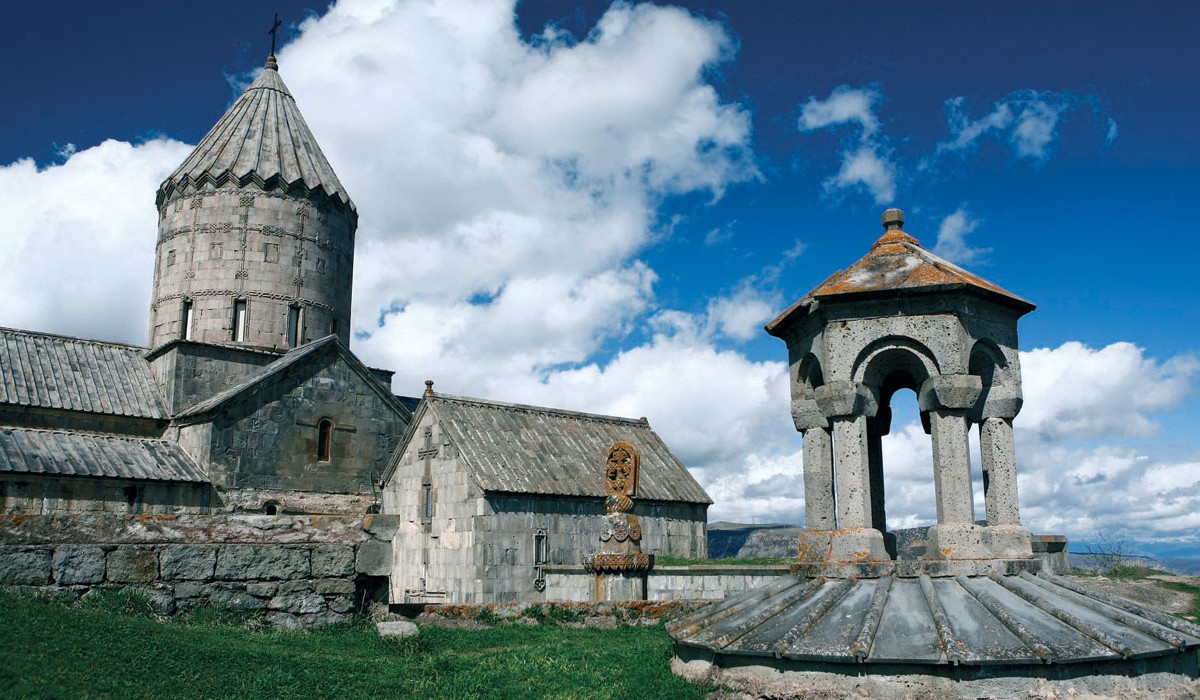
Covering 2,308 sq. km, 8% of Armenia’s territory, there are three urban and 41 rural communities in the region. The major towns are Eghegnadzor (Marz center), Jermuk, and Vayk. The leading economic sector is agriculture – viniculture, fruit and vegetables. The territory is famous for Jermuk mineral water and the Jermuk resort town.
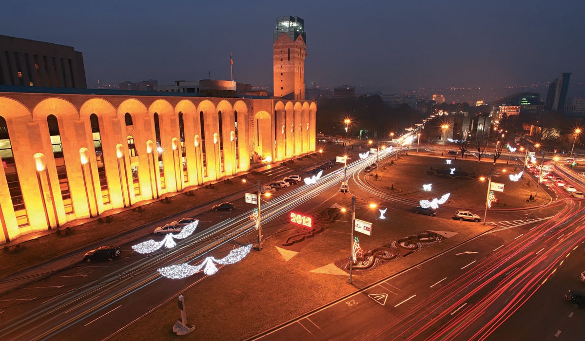
YEREVAN
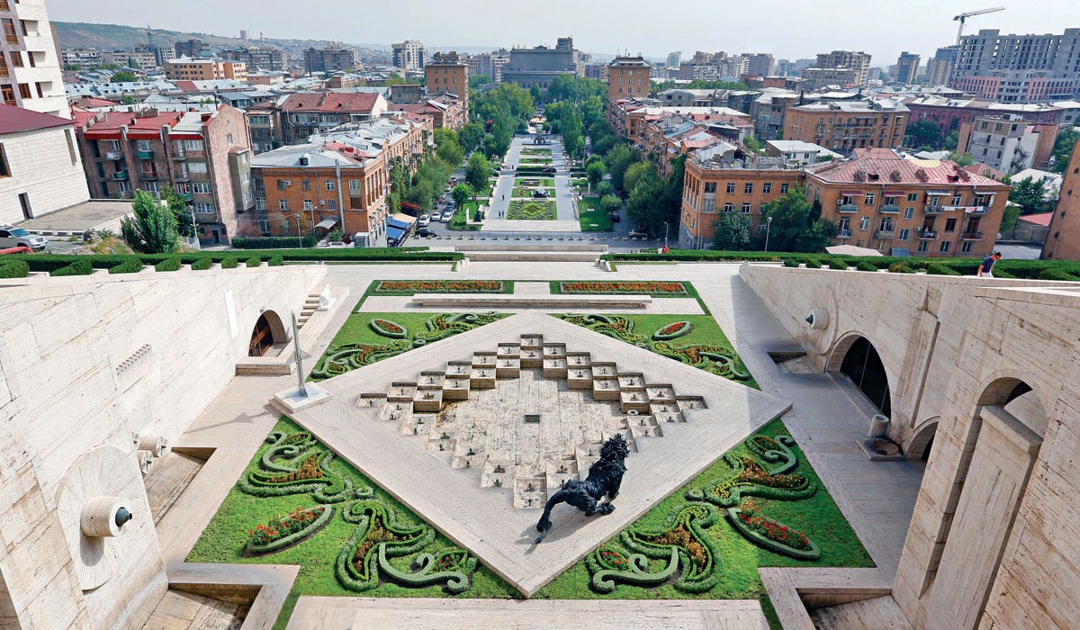
Yerevan is located on the edge of the Ararat Valley on both banks of the river Hrazdan, at an altitude of 900-1200 meter above sea level. The climate is acutely continental, with hot and dry summers and relatively severe winters. Yerevan covers 227 sq. km, 1% of Armenia’s territory. It is the capital of Armenia, and the residence of the President of Armenia. The National Assembly, Government, all ministries and main departments, public and other organizations, unions, foundations, commissions, legal bodies, fnancial institutions, offces of international organizations, and diplomatic institutions of Armenia are all situated here. Yerevan is the largest economic and fnancial center of the Republic of Armenia. The main industries are food and alcoholic beverage production, chemicals and metallurgy.


")